
A promontory that used to be an island
Thirteen thousand people, thirteen kilometres of beach and a monolith in the middle.
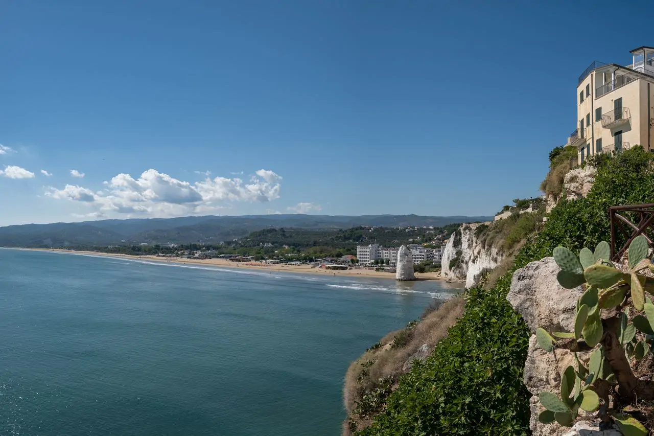
The Gargano is a block of limestone that juts sixty kilometres into the Adriatic, and for millions of years it was an island: it joined the peninsula when the debris of the Apennines filled the stretch of sea between them. From that history come its oddities: the white rock, the caves, a beech forest at heights where elsewhere there are olive trees.
How the Gargano is put together
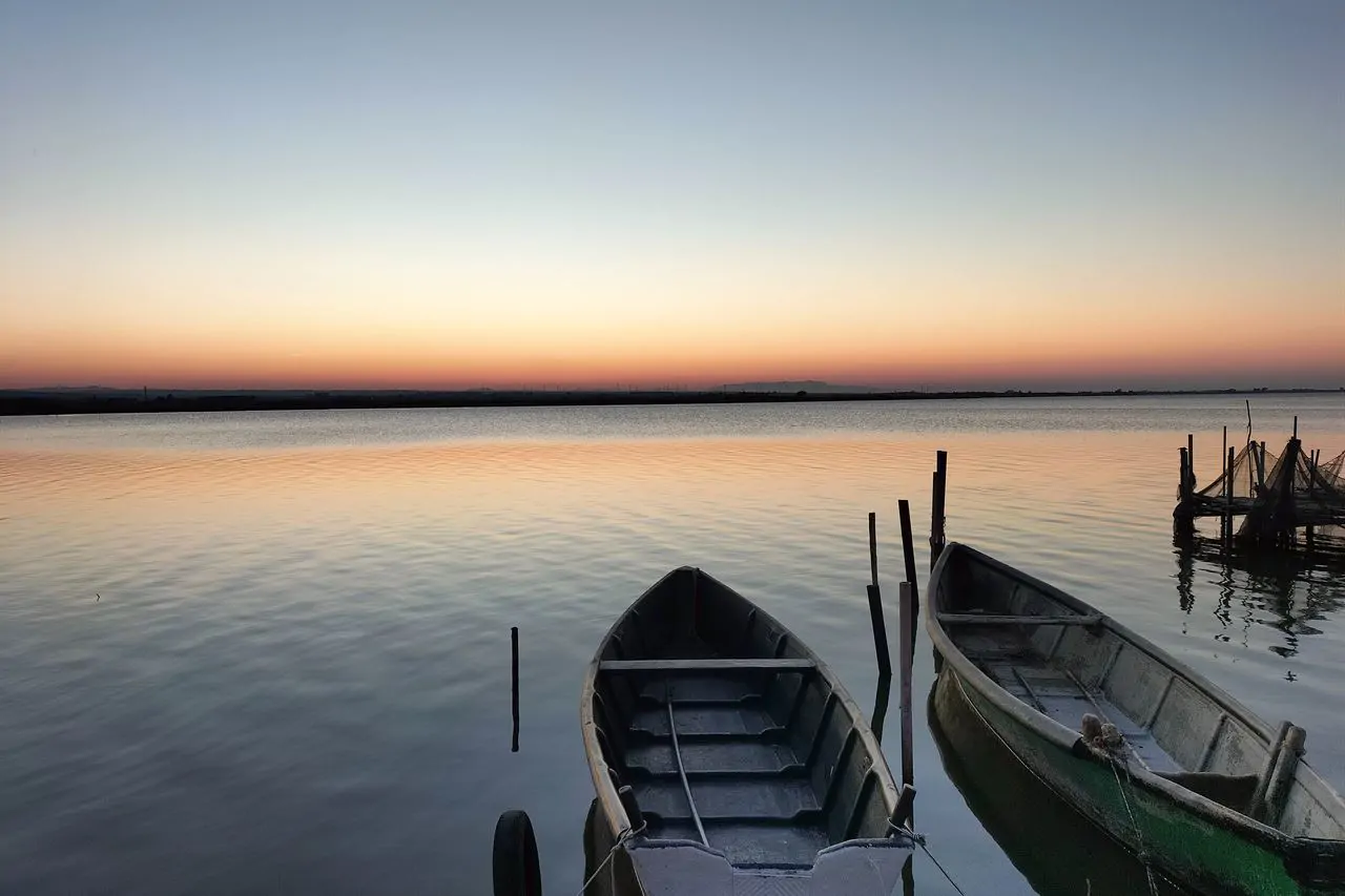
The promontory rises from the sea in steps: the coast is made of white cliffs up to a hundred metres high, cut by shingle coves and caves; above is a karst plateau of dolines and pasture; at the top, between seven and nine hundred metres, lies the Foresta Umbra. To the north the coast drops away and two lagoons open, Lake Lesina and Lake Varano.
Where the campsites are
At Vieste there are some forty campsites, spread along the town's two shores: to the north, on the road to Peschici, in a succession of pine woods and beaches between Scialmarino, Molinella and Crovatico; to the south, on the coast road to Mattinata, between Portonuovo, Pugnochiuso and Vignanotica. Nearly all have the beach in front and the maquis around them.
The Gargano is not Puglia and it is not Abruzzo: it is a thing of its own, held together by a forest.
A local saying on the Gargano, which the geology confirms
How to plan it
Vieste is the right base for the whole promontory: the Foresta Umbra is half an hour away, Peschici and Vico twenty minutes, Monte Sant'Angelo an hour, Mattinata forty minutes, and in summer the Tremiti are an hour and a quarter by hydrofoil from the harbour. None of these trips needs the pitch to be moved.
July and August are the full months and must be booked well ahead; June and September give the same sea, the water stays warm into October and the prices are another matter. In spring the promontory flowers, and the wild orchids of the Foresta Umbra are one more reason.